


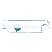
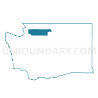
Montborne Voting District, Skagit County, Washington
About
Outline

Summary
| Unique Area Identifier | 688415 |
| Name | Montborne Voting District |
| County | Skagit County |
| State | Washington |
| Area (square miles) | 67.03 |
| Land Area (square miles) | 66.87 |
| Water Area (square miles) | 0.16 |
| % of Land Area | 99.76 |
| % of Water Area | 0.24 |
| Latitude of the Internal Point | 48.39088380 |
| Longtitude of the Internal Point | -122.13734410 |
Maps

Graphs
Select a template below for downloading or customizing gragh for Montborne Voting District, Skagit County, Washington


Neighbors
Neighoring Voting District (by Name) Neighboring Voting District on the Map
- Big Lake Voting District, Skagit County, WA
- Clear Lake Voting District, Skagit County, WA
- Lake Cavanaugh Voting District, Skagit County, WA
- McMurray East Voting District, Skagit County, WA
- Skagit County, Skagit County, WA
- Tingley Voting District, Skagit County, WA
Top 10 Neighboring County Subdivision (by Population) Neighboring County Subdivision on the Map
- Conway CCD, Skagit County, WA (3,674)
- Lake Cavanaugh CCD, Skagit County, WA (2,989)
- Clear Lake CCD, Skagit County, WA (1,853)
Top 10 Neighboring Place (by Population) Neighboring Place on the Map
Top 10 Neighboring Unified School District (by Population) Neighboring Unified School District on the Map
Top 10 Neighboring State Legislative District Lower Chamber (by Population) Neighboring State Legislative District Lower Chamber on the Map
Top 10 Neighboring State Legislative District Upper Chamber (by Population) Neighboring State Legislative District Upper Chamber on the Map
Top 10 Neighboring 111th Congressional District (by Population) Neighboring 111th Congressional District on the Map
Top 10 Neighboring Census Tract (by Population) Neighboring Census Tract on the Map
- Census Tract 9527, Skagit County, WA (3,674)
- Census Tract 9512, Skagit County, WA (2,989)
- Census Tract 9513, Skagit County, WA (1,853)